Spatial Data Integrator (SDI) is an ETL tool with geospatial capabilities. Based on Talend Open Studio, Talend's generic ETL solution, it includes specific geospatial components, all developed by Camptocamp.
Likewise regular TOS components, there are basically three sorts of Geo components: input, output and transform components. Input and output components read features from and write feature to datastores, respectively. Transform components read features from their input flows, possibly transform those features, and write features to their output flows. The term transform is to be taken loosely here as it represents any sort of operation.

mardi 24 février 2009
Inscription à :
Publier les commentaires (Atom)
Talend Certified
 Certification is awarded to individuals who successfully complete a comprehensive online test covering all aspects of the use of Talend Open Studio in real-life situations. Clients trusting a systems integrator to implement a solution want to be reassured that the consultants are indeed experts in the technology. Talend certification gives them this level of assurance.
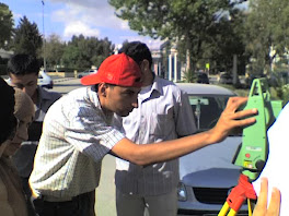
Mission Topographique
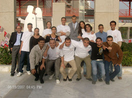
Promo6 Mastére Géomatique
Le Groupe CLLFST
SFD 2007
CLLFST & INFO+
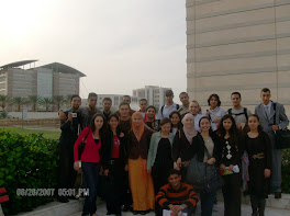
SFD 2007
Aucun commentaire:
Enregistrer un commentaire